Magic Map: from scattered samples to a complete picture
Magic Map turns a cloud of point samples — yield readings, soil tests, cluster counts — into a smooth, field-wide map in one click. Here's how it works and how to get the most out of it.
Magic Map turns a cloud of point samples — yield readings, soil tests, cluster counts — into a smooth, field-wide map in one click. Here's how it works and how to get the most out of it.
Generate an API token, hand it to an AI agent, and let it read your farms, pull datasets, push field observations, and run satellite analyses on your behalf. A short, practical walkthrough.
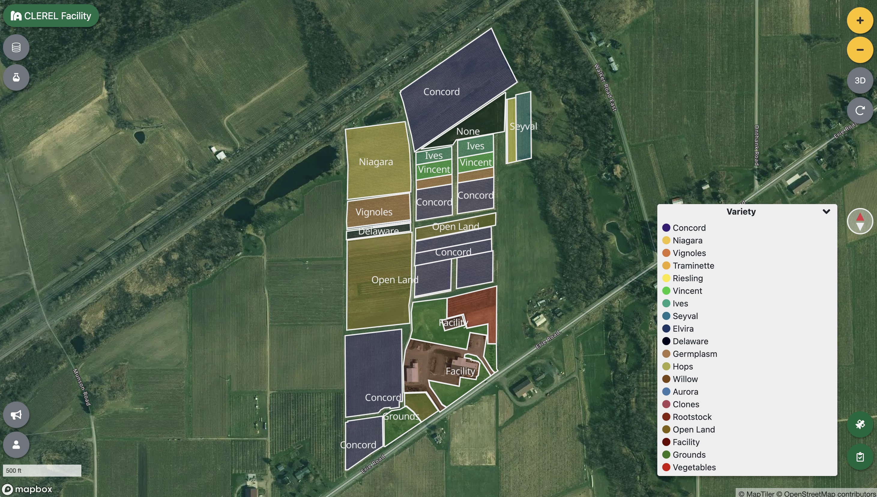
A step-by-step guide to browsing Sentinel-2 scenes, ingesting NDVI data, and interpreting the results — using CLEREL's research vineyard as a real-world example.
Tutorials, walkthroughs, and field notes for growers using satellite imagery and on-the-ground data to make better decisions across every block.