01
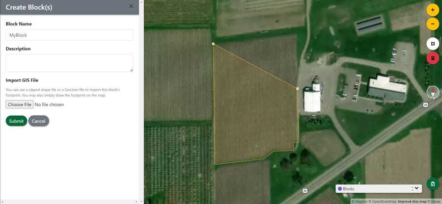
Build
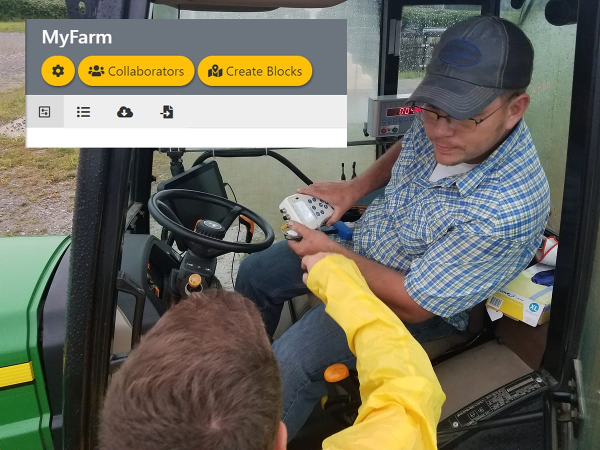
Define your farm, draw your blocks, and invite your team. Block-level details, sub-block geometry, and shared editing on desktop or phone.
Decision support for every farm.
Turn satellite imagery, sensor data, and field observations into precision-agriculture decisions you can actually act on. A grant-funded research platform built with NASA Acres and Cornell AgriTech.
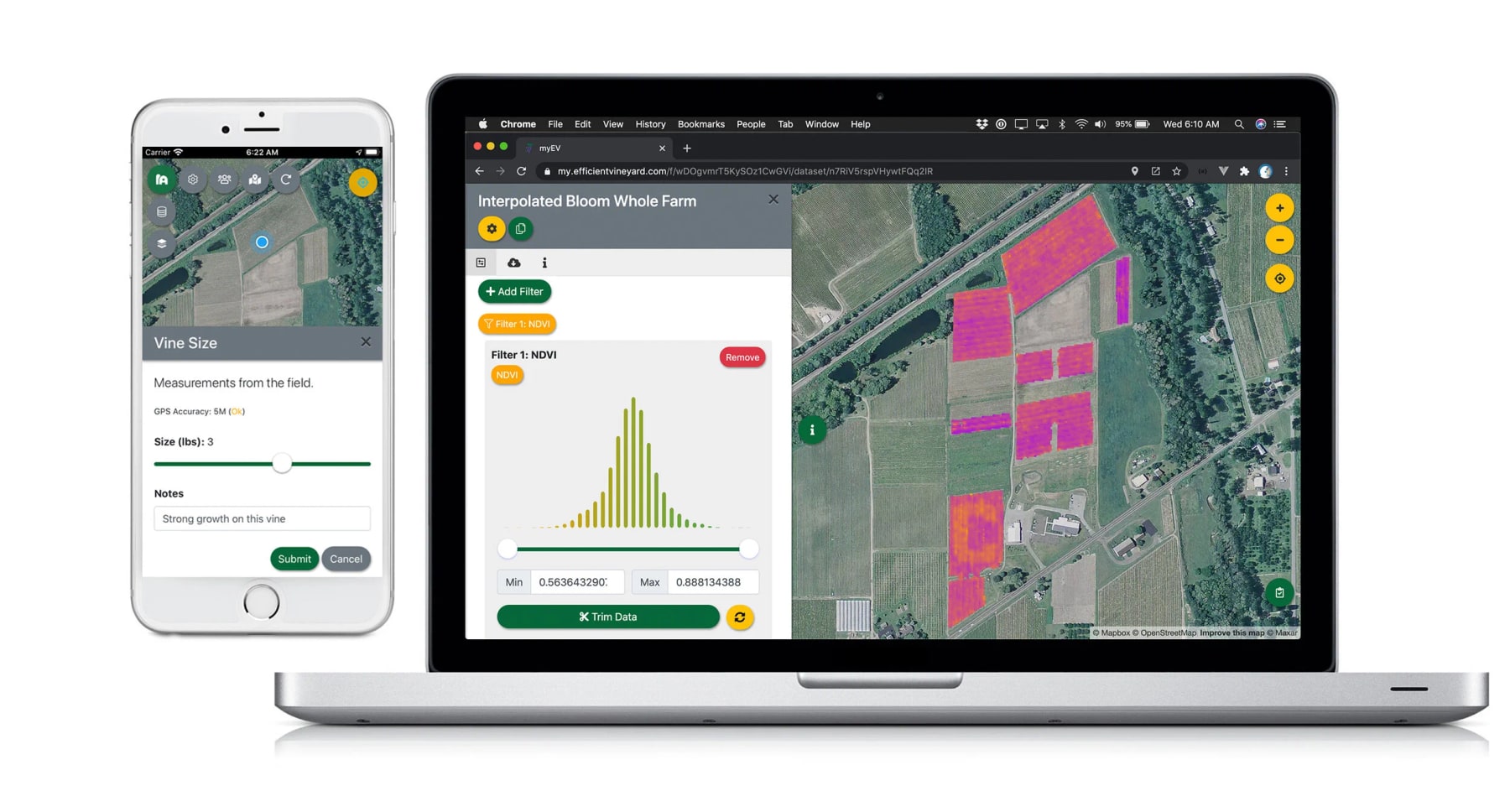
Every.Farm sits at the intersection of remote sensing, ground-truth data collection, and grower decision-making. It connects what satellites see overhead, what your team measures in the field, and what you decide to do — all on one map of your farm.
Define your farm, draw your blocks, and invite your team. Block-level details, sub-block geometry, and shared editing on desktop or phone.
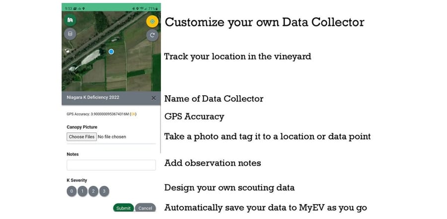
Scout broken posts, irrigation leaks, pest pressure, soil samples, yield notes — anything you want to map. Build custom mobile collectors in minutes and share them with your crew.
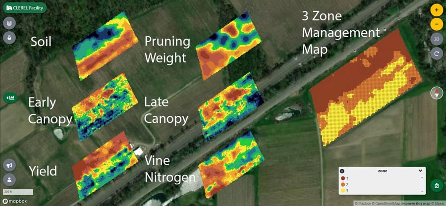
Generate prescription maps from one or many data layers. Export to your sprayer, your spreader, or your phone. Your data stays yours.
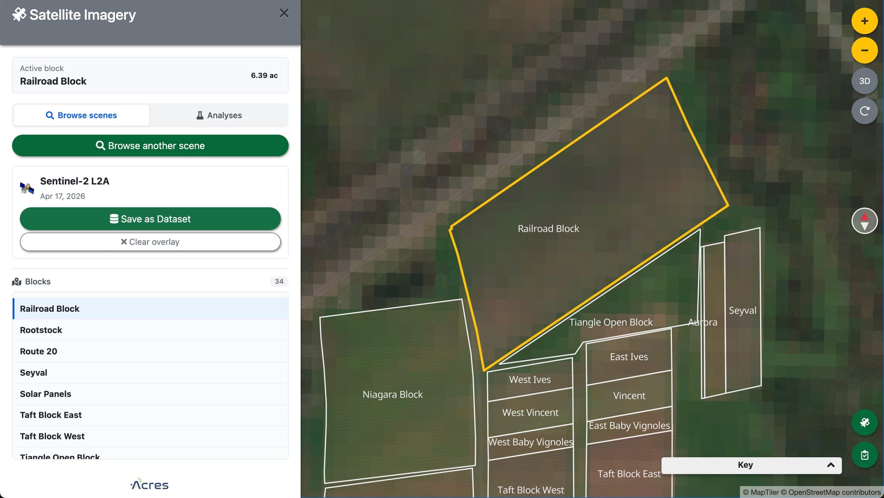
Every.Farm streams imagery from the world's open-data archives — NASA, ESA, USGS, USDA — and turns it into analytical layers you can filter, map, and act on. No GIS expertise required.
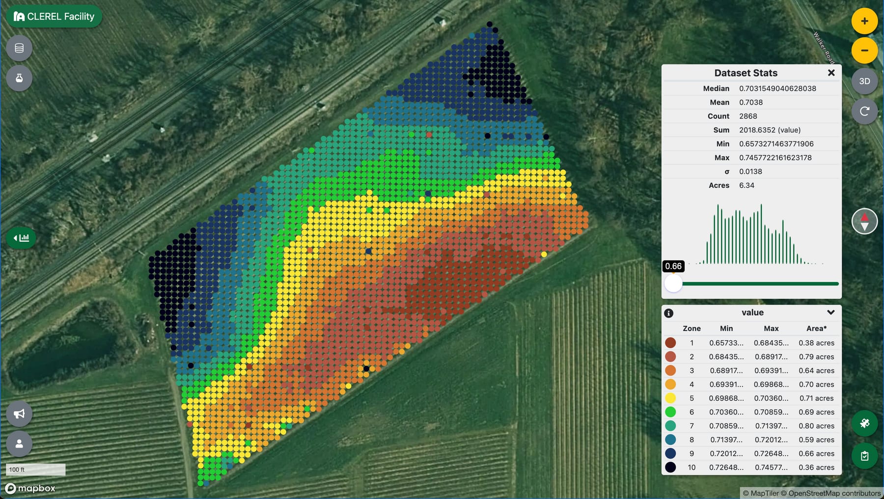
Pick a block, choose a date range, and run an analysis. Results land on your map as fishnet vector layers within seconds — ready to drive prescription maps, compare against your scouting data, or feed into a Variable Rate workflow.
“Open Earth observation, opened up for the grower.”
In partnership with NASA Acres — NASA's Applied Sciences consortium for U.S. agriculture.
Whatever you grow, agricultural data ends up looking the same: messy, multi-source, hard to compare. Every.Farm breaks the data cycle into five steps so anyone — not just GIS specialists — can turn raw inputs into actionable maps.
Bring in spatial data with a latitude and longitude. Drop in soil sensor logs, NDVI scans, yield maps, drone surveys, or whatever your equipment produces. Convert raster imagery to point data with one click. Or skip the equipment and use your phone — the built-in mobile data collector works for any observation you want to map.
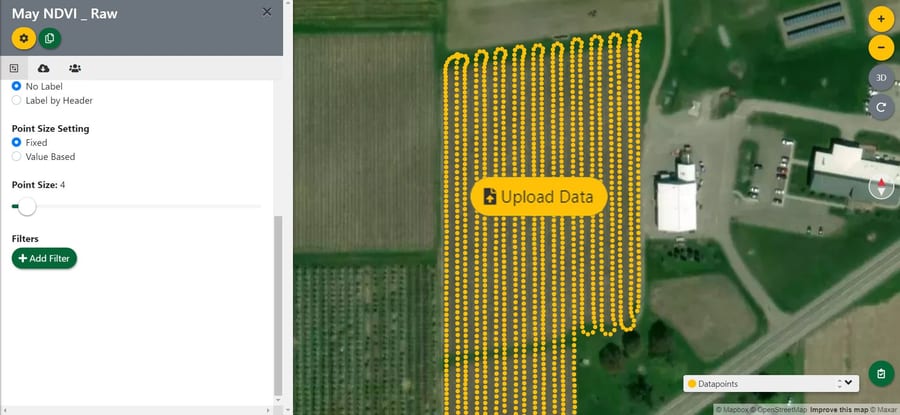
Avoid garbage-in, garbage-out. Slide-filter your imported data to keep what matters and discard the rest. Automatically clip to the block boundaries you've drawn so every layer is bounded by your real-world geometry.
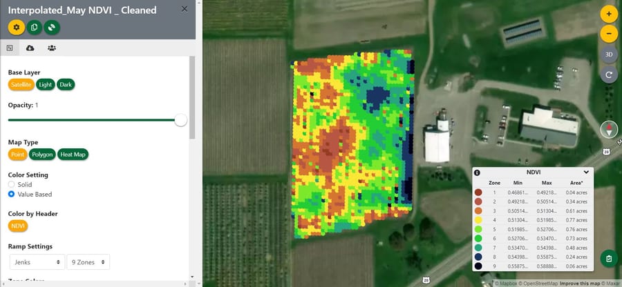
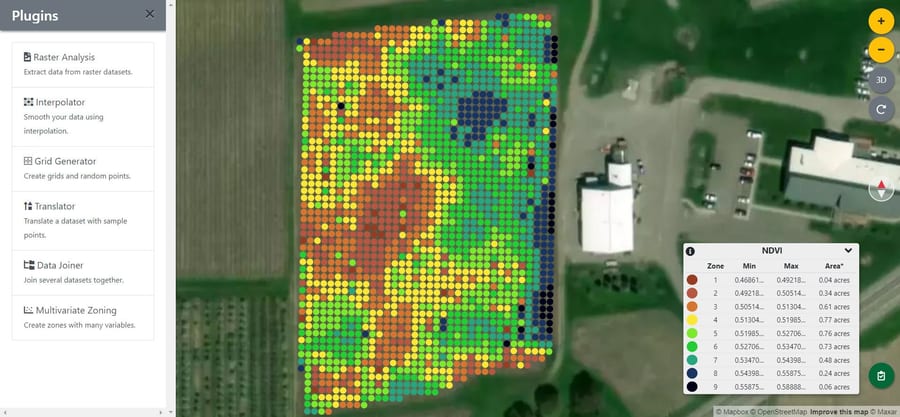
Different sensors, different densities, different geo-locations — Every.Farm's Interpolator harmonizes them all to a shared grid. The Data Joiner links your interpolated layers so a single click on any grid point shows everything you've measured at that location.
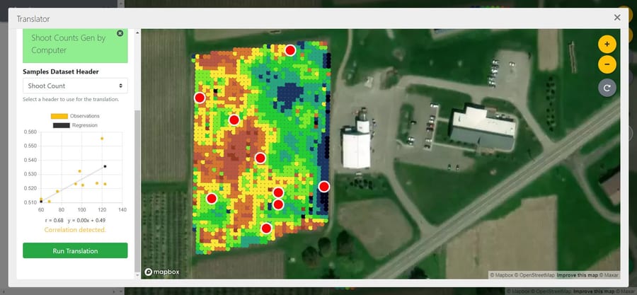
Spatial data only matters if you trust it. Every.Farm analyzes the patterns in your imagery and tells you exactly where to walk to ground-truth them. Send sample points to your phone, capture measurements alongside your team, and translate raw sensor signal into agronomic insight.
Generate variable-rate prescription maps from one or many layers. Export to your phone for crew direction, or to your favorite precision-ag implement for mechanical control. Your decision, on your terms.
A growing public reference of crop data — varieties, growth stages, common metrics, regional notes — usable by every Every.Farm account and accessible via API. Pulls crop knowledge out of spreadsheets and into something both you and your software can query.
Explore crops.every.farm →A REST API for researchers, integrators, and developers building on top of Every.Farm. Pull your farm's blocks, datasets, and analyses; push observations; orchestrate satellite recipes from your own code. Authenticate with a personal API key, scoped to the farms you have access to.
Read the API docs →Build custom collectors for whatever you want to scout. Drop a pin, attach a photo, fill a form — your team's observations live in the same map as your imagery and analyses, ready to drive your next decision.
Open the app →
Cornell AgriTech · CLEREL Director
Every.Farm grew out of the Efficient Vineyard project, where viticulturist Terry Bates and his team have spent a decade making precision agriculture practical for growers, not just researchers.
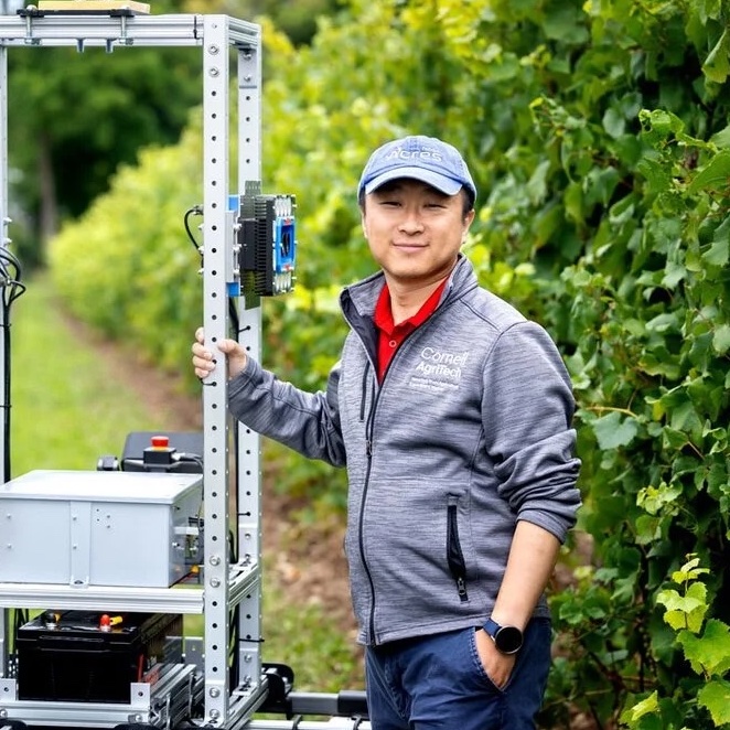
Cornell AgriTech · CAIR Lab Principal Investigator
Yu directs Cornell's Cyber-Agricultural Intelligence and Robotics (CAIR) Laboratory at AgriTech, working at the intersection of engineering, computer science, and plant science to turn specialty-crop farms into measurable, modelable systems. He's the data and systems anchor for Every.Farm, and Nick's PhD advisor.
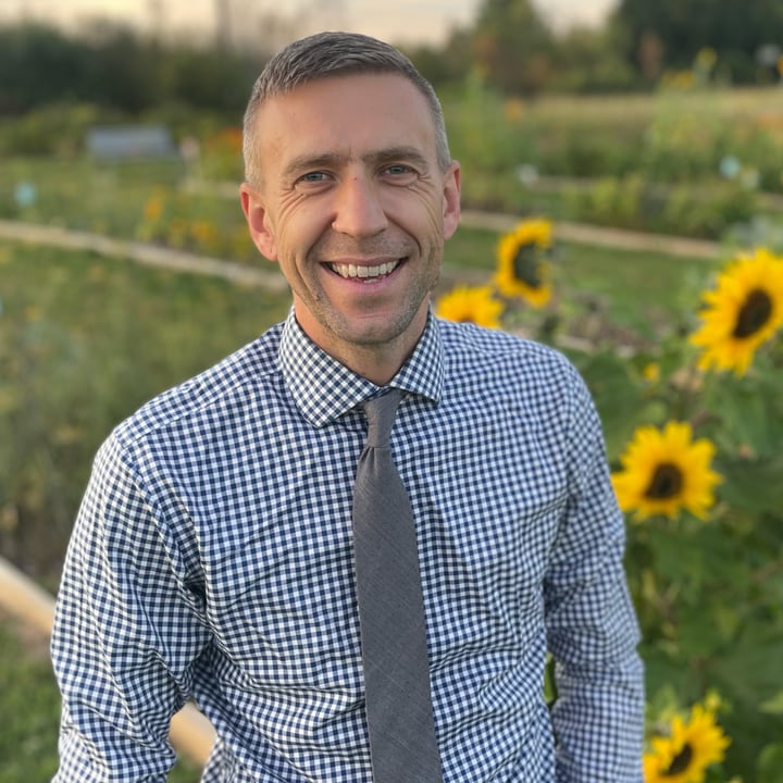
PhD Student · CAIR Lab, Cornell · NASA Acres Fellow · Orbitist Founder
Nick leads software development on Every.Farm at Orbitist and is a PhD student at Cornell's Cyber-Agricultural Intelligence and Robotics (CAIR) Laboratory under a NASA Acres Fellowship. His research explores how digital networks and Earth observation can connect farmers, equip them with better data-collection tools, and improve both grower profitability and the ecological systems they depend on. His career spans public relations, multimedia production, conservation, geospatial software, and farming.
Every.Farm continues the work of the USDA-NIFA Specialty Crop Research Initiative project Precision Vineyard Management (Project 2015-51181-24393), with ongoing support from USDA-NIFA Small and Medium Sized Farms Program (Project 2022-68006-36148), the SCRI HiRes Vineyard Nutrient Management project (Project 2020-51181-32159), NASA Acres, and the National Grape Research Alliance.
Built with public funding. Open to growers and researchers. Your data stays yours.
Create your account →